Country Snapshot: Geography
Location
Central Europe, bordering the Baltic Sea and the North Sea, between the Netherlands and Poland, south of Denmark.
Geographic Coordinates
51 00 N, 9 00 E
Map References
Europe
Area
Total: 357,022 sq km
Land: 348,672 sq km
Water: 8,350 sq km
Country Comparison to the World: 64
Area Comparative: Three times the size of Pennsylvania; slightly smaller than Montana
Land Boundaries
Total: 3,714 km
Border Countries (9): Austria 801 km, Belgium 133 km, Czech Republic 704 km, Denmark 140 km, France 418 km, Luxembourg 128 km, Netherlands 575 km, Poland 467 km, Switzerland 348 km
Coastline: 2,389 km
Maritime Claims
Territorial Sea: 12 nm
Exclusive Economic Zone: 200 nm
Continental Shelf: 200 m depth or to the depth of exploitation
Climate
Temperate and marine; cool, cloudy, wet winters and summers; occasional warm mountain (foehn) wind.
Terrain
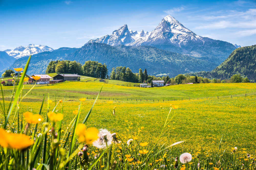
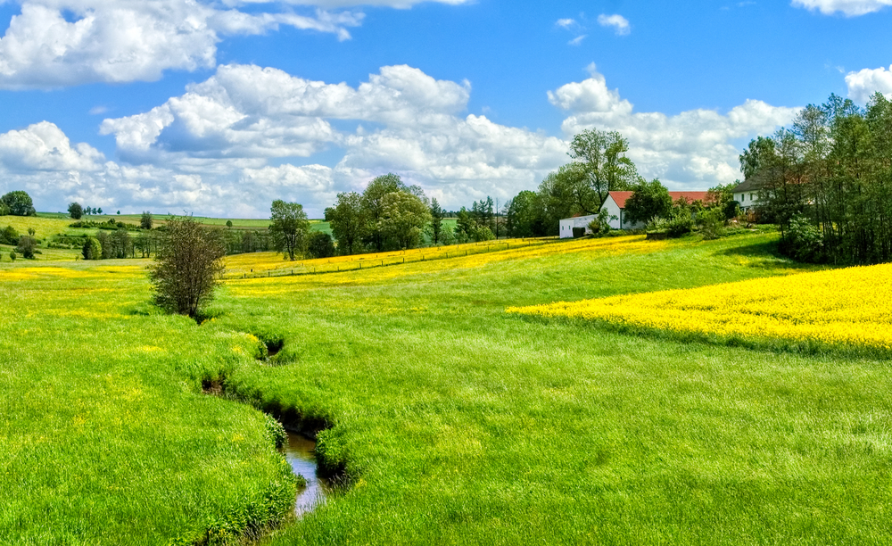
Lowlands in north, uplands in center, Bavarian Alps in south.
Elevation
Mean Elevation: 263 m
Lowest Point: Neuendorf bei Wilster -3.5 m
Highest Point: Zugspitze 2,963 m
Natural Resources
Coal, lignite, natural gas, iron ore, copper, nickel, uranium, potash, salt, construction materials, timber, arable land.
Land Use
Agricultural Land: 48% (2018 est.)
Arable Land: 34.1% (2018 est.)
Permanent Crops: 0.6% (2018 est.)
Forest: 31.8% (2018 est.)
Other: 20.2% (2018 est.)
Irrigated Land: 6,500 sq km (2012)
Total Renewable Water Resources
154 billion cubic meters (2017 est.)
Population Distribution
Most populous country in Europe; a fairly even distribution throughout most of the country, with urban areas attracting larger and denser populations, particularly in the far western part of the industrial state of North Rhine-Westphalia
Natural Hazards
Flooding
Article written for World Trade Press by CIA Factbook, Current as of 27 April, 2021.
Copyright © 1993—2025 World Trade Press. All rights reserved.

 Germany
