Geography: Rivers
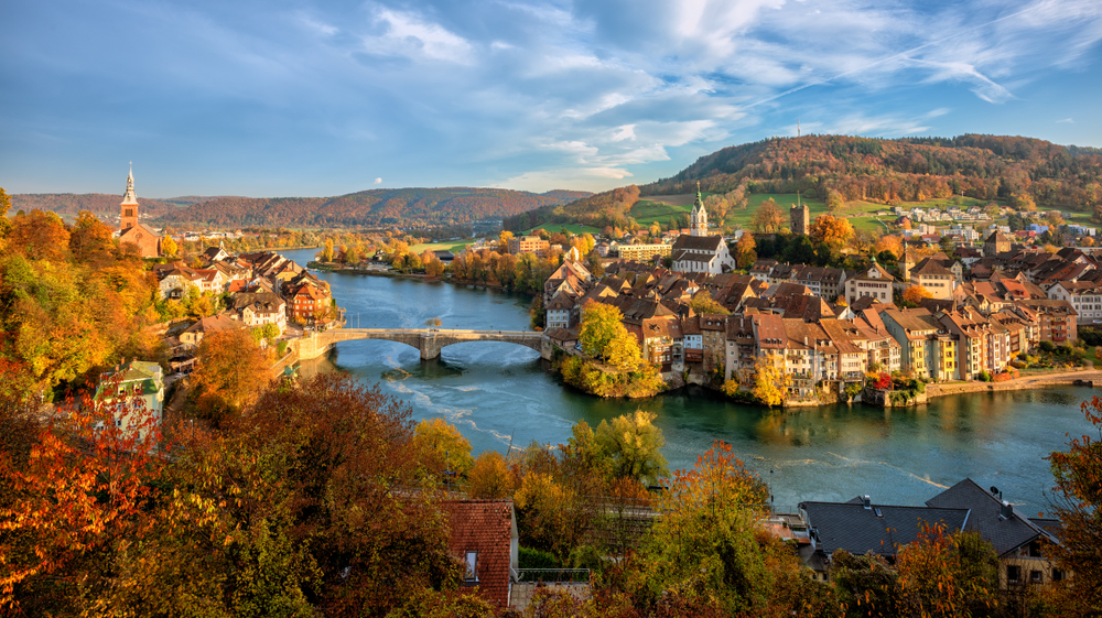
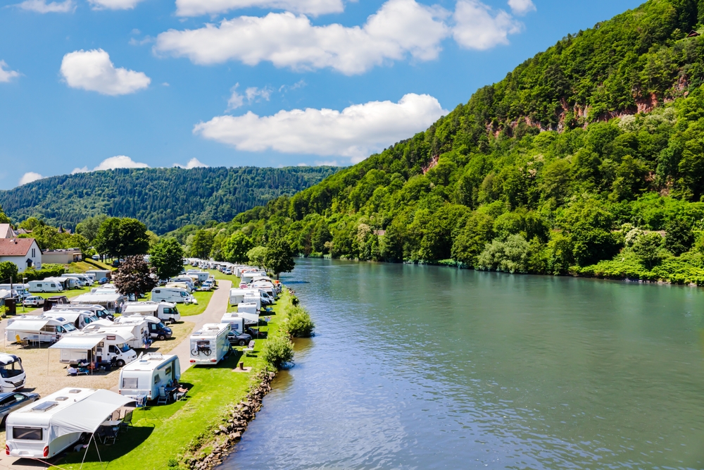
Germany is laced with an extensive network of rivers that have played a pivotal role in shaping its landscapes and development. These rivers, including the famous Rhine, the Danube, and the Elbe, traverse diverse regions, from the Alpine forelands to the North German Plain. They are integral to the country's economy, facilitating trade and industry, and are key for transportation, both historically and in modern times. German rivers also play a significant role in agriculture, providing irrigation for the fertile regions, and are crucial for the country’s renowned wine production. Additionally, they contribute to the ecological diversity, supporting various habitats and species. Beyond their practical importance, these rivers have deep cultural and historical significance, inspiring art, literature, and folklore, and shaping the identity of the regions they flow through. The table below presents an overview of the major rivers in Germany, detailing their lengths, sources, and outflows.
|
River Name |
Length* |
Source |
Outflow |
|
Rhine |
1,233 km (766 mi) |
Swiss Alps |
North Sea |
|
Danube |
647 km (402 mi) |
Black Forest |
Black Sea |
|
Elbe |
1,091 km (678 mi) |
Czech Republic |
North Sea |
|
Oder |
866 km (538 mi) |
Czech Republic |
Baltic Sea |
|
Weser |
452 km (281 mi) |
Hann. Münden, Germany |
North Sea |
|
Main |
524 km (326 mi) |
Franconian Forest, Germany |
Rhine River |
|
Moselle |
545 km (339 mi) |
Vosges Mountains, France |
Rhine River |
|
Neckar |
367 km (228 mi) |
Black Forest, Germany |
Rhine River |
|
Ems |
371 km (231 mi) |
Teutoburg Forest, Germany |
North Sea |
|
Saar |
246 km (153 mi) |
Vosges Mountains, France |
Moselle River |
*Sources do not differentiate between the length of river that exists within the country’s borders and the overall length of the river irrespective of national borders.
Copyright © 1993—2025 World Trade Press. All rights reserved.

 Germany
